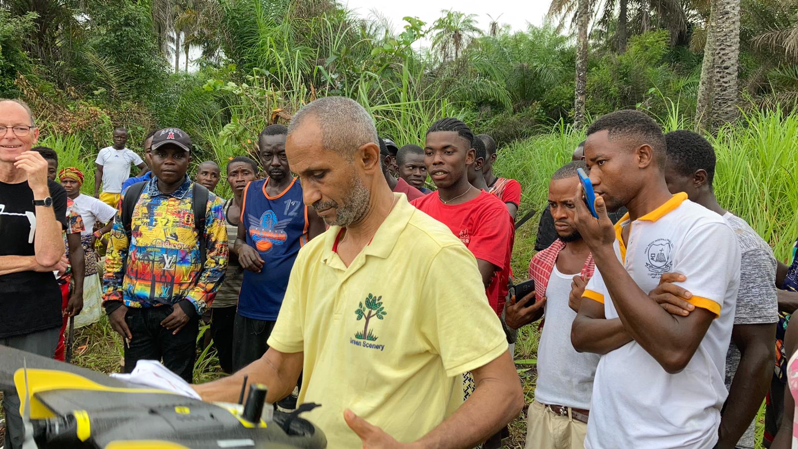
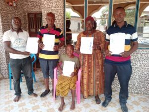
On the 18th of September 2022, Green Scenery, in cooperation with Engineers Without Borders Denmark mapped two family land plots in the community of Kalangba, Port Loko District in the Northern part of the country.
The lands mapped had already been mapped in 2018 as part of an UNFAO supported project to pilot the new land reform. The lands had then been mapped using Ipads and the Solutions for Open Land Administration (SOLA) methodology of the FAO.
This exercise was now aimed at identifying a faster, cost-effective and efficient mapping methodology that could be used to map land beside the more traditional methods.
“In Green Scenery we are convinced that the drone has capabilities to carry out surveys and mapping. How it can be effectively used is what our partners and we are exploring,” Joseph Rahall Executive Director of Green Scenery
Sierra Leone has recently passed a major land reform, which will include the creation of a cadastre of land throughout the country. While resources will be made available by international partners such as the World Bank or the United Nations Foods and Agricultural Organizations, it will be necessary to use available funds efficiently. While drone mapping still has many challenges in Sierra Leone, it could help to map more lands with the available resources.


